
Verified Lower Providence ZIP Coverage
Authoritative local evidence confirms two postal patterns for Lower Providence Township. They are useful starting points, not a claim that every address in either ZIP lies in the Township. The official Township overview names Audubon, Collegeville, Trooper, Eagleville, Yerkes, and Evansburg as local geographic areas. Postal naming crosses those municipal descriptions, so record the street address, postal city and ZIP, municipality, and parcel ID together.
| ZIP | Areas Covered | Post Office | Notes |
|---|---|---|---|
| 19403 | Eagleville, Audubon, Trooper, and much of the Township’s documented public-address layer | USPS Eagleville listing, 3200 Ridge Pike, Suite 300, Norristown 19403-9998 | Township Hall, the Library, Correctional Facility, and precinct sites use 19403-related postal labels. Eagleville, Audubon, or Norristown may appear as the postal city. |
| 19426 | Collegeville-label portions within Township precinct geography | Collegeville postal label | Lower Providence precinct sites at Ridge Pike and Level Road use Collegeville 19426. This is postal overlap, not a Township boundary. |
The research did not verify 19456 or 19460 as Township-serving ZIPs through an authoritative address-by-address source. Do not treat nearby Oaks or Phoenixville postal labels as complete Lower Providence coverage without an exact delivery check.
That restraint is intentional. ZIPs are delivery routes, not municipal borders, and the available official material supports 19403 and 19426 only. A nearby ZIP may touch a road, appear in a regional address database, or serve another municipality without serving the Lower Providence parcel under review. The safest record note contains both the delivery result and the county municipality result, even when the labels seem to agree.
Read Lower Providence ZIP Geography
Lower Providence is a 15.46-square-mile second-class township, not an incorporated city. Its local records geography is therefore wider than one postal name. Township Hall and the Library use Eagleville 19403, while official polling material also uses Collegeville 19426 and Audubon or Norristown 19403 labels for Township precinct sites. The label on an envelope is valuable delivery information, but it is not a municipal finding.
Lower Providence Township’s official overview identifies the local village areas, while the county property system provides the municipal check. That paired approach avoids the common error of treating a Collegeville or Norristown mailing label as proof that a property is outside Lower Providence.
Official precinct material makes the overlap concrete. Lower Providence 1-1 uses IBEW Local Union 380 at 3900 Ridge Pike, Collegeville 19426, and 1-2 uses Arrowhead School at 232 Level Road, Collegeville 19426. Other Township precinct locations use Eagleville, Audubon, or Norristown postal labels. A precinct, postal city, and municipality therefore answer different questions and should be checked through their own official records.
Check a Lower Providence ZIP First
The USPS delivery lookup is the delivery-address authority. Enter the complete address and use the returned city and ZIP for mail. That result should not be substituted for a county parcel record. To establish whether a property is in Lower Providence Township, search the county system with the street address and choose LOWER PROVIDENCE in the municipality control, then compare the parcel identity.
- Enter the exact delivery address in the USPS lookup and save the returned postal city and ZIP.
- Search the address in Montgomery County Property Records and select LOWER PROVIDENCE when the property belongs to the Township.
- Record the parcel ID with the street address, postal city and ZIP rather than treating those identifiers as interchangeable.
- Use the Recorder, tax map, or a records request only for the separate record question that follows from that confirmed parcel.
The USPS lookup page is shown below as the postal step in that workflow.
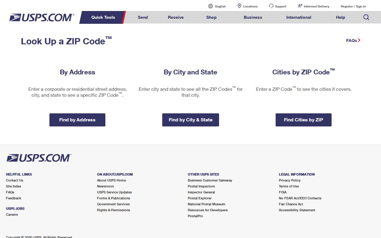
A returned ZIP directs delivery. It does not establish parcel ownership, household membership, precinct, or Township jurisdiction.
Lower Providence ZIP Directory Search Fields
Montgomery County Property Records does not offer a ZIP filter. Its inspected address mode instead parses the location into number, optional direction, street, suffix, and municipality. It also accepts parcel ID and provides advanced, map, and sales modes. Public owner-name searching is disabled. This means a ZIP cannot produce a Township-wide ownership or resident result from the assessor. Use the ZIP to check delivery first, then use the full address and municipality for parcel work.
| County property field | Supported input or mode | How it fits a ZIP question |
|---|---|---|
| Address number | Required address component | Begins a specific property query after the delivery address is known. |
| Direction | Optional directional prefix | Use when it appears in the address returned or documented elsewhere. |
| Street and suffix | Street parsing controls | Match the county format rather than assuming a ZIP resolves a road variant. |
| Municipality | LOWER PROVIDENCE selection | Tests Township identity separately from postal routing. |
| Parcel ID | Property identifier | Connects the selected parcel to map, Recorder, and data-request routes. |
| ZIP field | Not observed | No county ZIP-wide property search should be promised. |
Montgomery County’s property-data page explains its interactive map, open-data, and custom-report options.
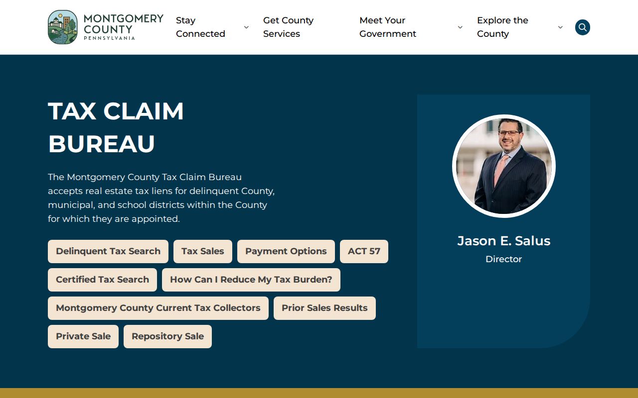
The map is useful for spatial context after a parcel is identified. The County says its tax maps visualize parcel boundaries and are not a substitute for a licensed survey.
The County separates several access channels: Open Data when an existing dataset fits the question, the interactive map for visualization, and a custom map or report request when neither does. A ZIP does not replace the parcel ID in those routes. Start with the exact address, save the parcel ID, and describe the requested property or mapping information precisely if an online result is not enough.
Use Lower Providence ZIP Filters Carefully
Most local portals in the research do not provide a general ZIP filter. The Tax Claim parcel search accepts parcel number or address, and Recorder Quick Search shows search terms and date controls rather than a discrete ZIP field. The state voter-request products are county and street based, not ZIP products. Pennsylvania UJS Case Search does include a specialized Parcel ZIP Code field in its civil or property-related criteria, but it is a court-record filter, not a Lower Providence ZIP code directory or a household search.
| UJS property criterion | Supported use |
|---|---|
| Parcel ZIP Code | Can narrow a property-related court query when paired with appropriate case criteria. |
| Parcel number or address | Provides more specific property context than ZIP alone. |
| City, state, county, municipality | Helps distinguish jurisdiction and locality in a property-related case search. |
Pennsylvania UJS Case Search shows the court’s available search criteria.
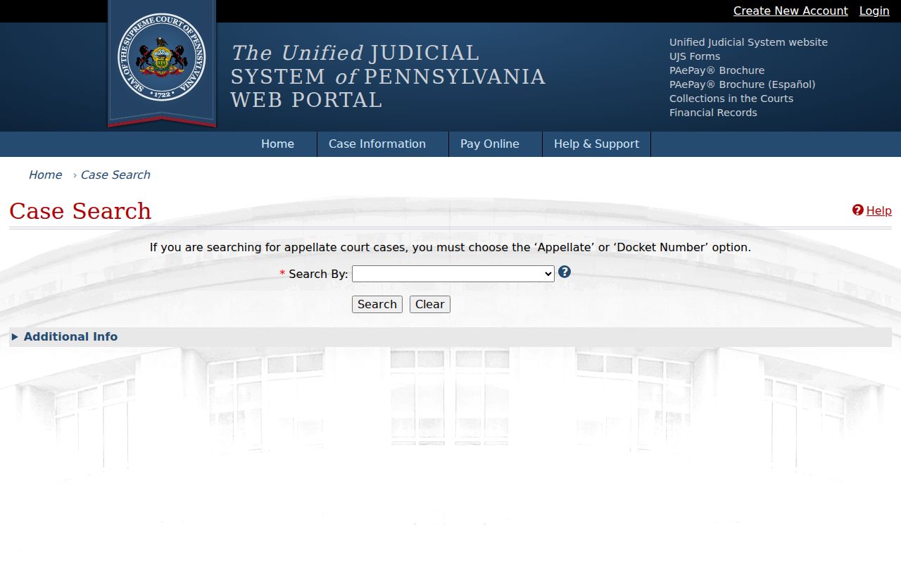
Court records can have excluded, sealed, juvenile, expunged, or limited-access matters. A public case connection is not proof that someone currently lives at a ZIP or address.
For civic records, Pennsylvania’s formal voter products are requested by county or street, not ZIP. The individual voter-status route serves a voter’s own registration check. Do not convert either tool into a ZIP-wide list or infer a precinct from a postal label. County election records and the official status or polling tools are the appropriate confirmation paths when the question is electoral rather than postal.
Match Lower Providence ZIP Address Strings
ZIP questions often fail because the same location has several valid-looking strings. The county’s address controls recognize number, direction, street, suffix, and municipality, with suffix alternatives such as RD, RIDGE, and PIKE. A historical reference may use a different local form from the county’s current record. Keep the documented postal string, then try the county’s displayed street format and select Lower Providence as the municipality.
Parcel number, current situs address, postal city and ZIP, subdivision or lot, plan reference, document number, and legal description all serve different purposes. Older deeds can describe a tract or plan rather than today’s address. No official source established a Township-wide directional grid, street-renumbering year, or renamed-street index, so do not invent an address conversion.
Lower Providence Postal Terms
These postal terms help keep delivery data apart from land and municipal records. They describe mail routing, not people or property ownership. An exact address still needs USPS confirmation, while municipal identity still needs the county parcel route.
- ZIP code
- A USPS delivery-routing code associated with an address or delivery area. It does not draw a municipal boundary.
- ZIP+4
- An added four-digit delivery segment used to refine a ZIP code for a specific address or mail grouping.
- PO-box ZIP
- A ZIP used for post-office boxes rather than a general physical delivery area.
- Unique ZIP
- A ZIP assigned for a single organization or large receiver. No such Lower Providence ZIP was verified in the research.
- Carrier route
- A USPS delivery route within a ZIP area. It is not a municipal boundary or a list of household occupants.
Lower Providence ZIPs Do Not Set Limits
USPS delivery zones and Lower Providence Township boundaries overlap without matching. USPS determines where mail goes. Montgomery County Property Records and parcel mapping determine the municipal identity used for local land records. Precinct location material shows why neither a ZIP nor a postal city should be used alone to infer a Township address, a polling district, or a property’s governmental jurisdiction.
Once a ZIP and the county municipality narrow a question to one street, use the Lower Providence street directory for the address-by-address parcel and record sequence. Keep the scope specific: a parcel owner is not necessarily an occupant, and no postal result is a resident list.
For a Township permit, zoning, inspection, or code file, use the property’s address and the Township’s documented records-request route rather than the ZIP alone. For title material, use the parcel and Recorder references. The same principle applies at every step: delivery data narrows an address, while the custodian’s own record identifies the record.