
Trace a Lower Providence Street by Address
A useful Lower Providence street directory search is an address-by-address trail. Montgomery County’s public property system is deliberately built that way. It accepts a street address or parcel ID, while its public owner-name search has been removed. Start with the address and select LOWER PROVIDENCE as the municipality. That selection matters because Eagleville, Collegeville, Audubon, and Norristown can appear as postal labels around the Township. Save the parcel ID from the result before moving to other sources.
- Enter the number and street in Montgomery County Property Records, add a direction or suffix when known, and select LOWER PROVIDENCE.
- Keep the parcel ID, then use the County tax map for visual context around that individual parcel.
- Use the Recorder’s index to locate the related transfer or plan record by a documented party, document, subdivision, or date clue.
- When a lawful civic purpose fits the statutory process, request the Pennsylvania Street List or Walking List instead of treating a status tool as a street roster.
- For construction, zoning, or code evidence, send the Township a written request that identifies the address, date range, and record category.
Each stop answers a narrower question. A parcel points to land records; a deed identifies transaction parties; a voter product has its own restrictions. Keep the address, parcel ID, postal label, and document reference together in notes so a later record can be checked against the same Lower Providence place. None alone establishes every current household member.
Use Lower Providence Street Directory Fields
The county’s address screen breaks a Lower Providence Township street directory query into parts. That is helpful when a road appears with different suffixes in old notes or when the same name occurs elsewhere in Montgomery County. The screen has no ZIP input and no public surname starting point. Its sorting controls organize results after an address query; they do not create a whole-street resident export.
| Field or control | Use for an address search | Local caution |
|---|---|---|
| Street number | Starts an exact property query | The same number can occur on different roads. |
| Direction | Handles an optional directional element | Use only when it is part of the recorded address. |
| Street and suffix | Supplies the core road name | Match the county’s displayed abbreviation or suffix. |
| Municipality | Choose LOWER PROVIDENCE | A postal city is not the municipal identifier. |
| Parcel ID | Bridges the property, map, and title routes | Record it exactly for a follow-up request. |
| Result sorting | Orders hits by address, owner name, sale date, sale amount, LUC, or parcel ID | Sorting is not a new search field. |
Ridge Pike and other local road names may appear with variants in historical materials. Preserve the address string as found, then compare it with the county’s selected suffix and the parcel’s legal-description or plan references.
Map Parcels Along Lower Providence Streets
The County property-data and interactive-tax-map page is the right next stop after the address result. County materials describe tax maps as a way to visualize spatial relationships across more than 300,000 parcels. The service can help place a Lower Providence street parcel among nearby lots and helps keep a search tied to the correct side of a road. It is not a survey, and the published material does not confirm a public buffer or radius control.
The official property-address search shown below is the county’s address-first starting point.
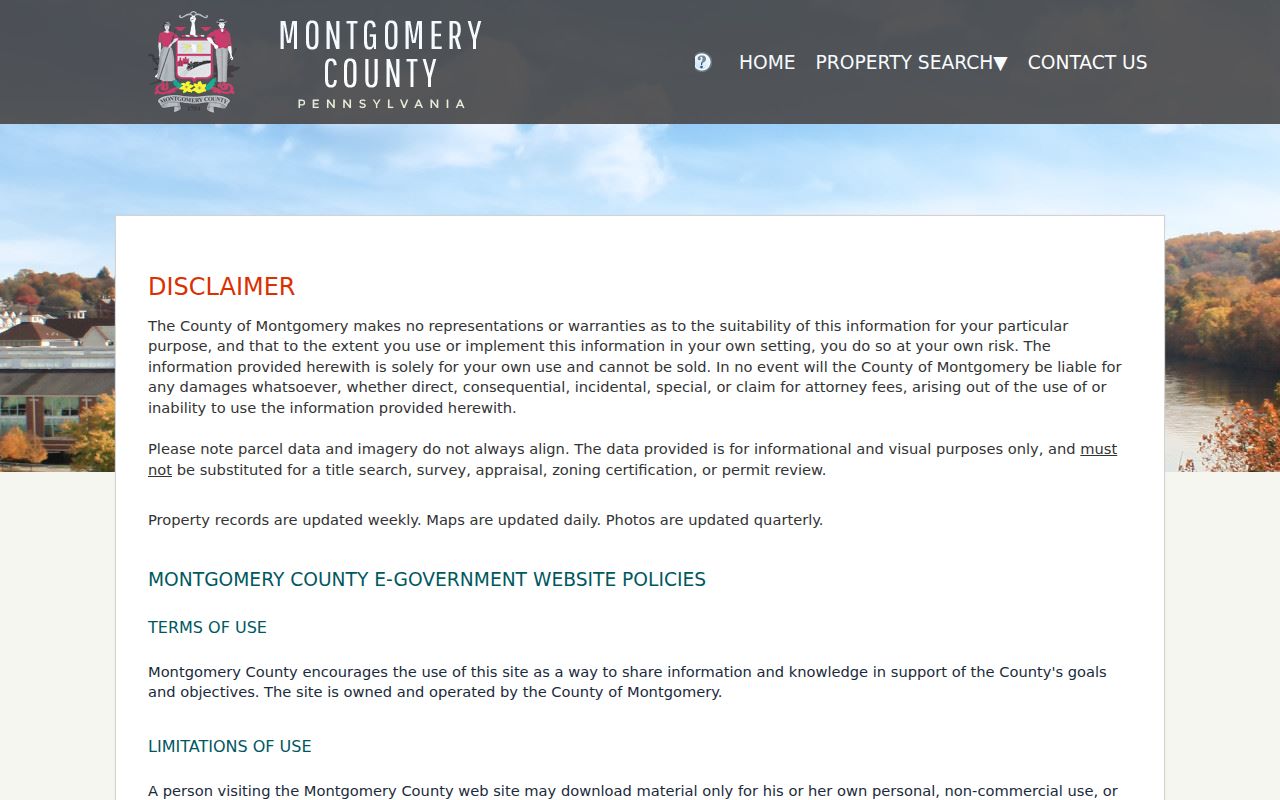
Use its parsed address fields to obtain one parcel at a time before comparing the parcel’s mapped position with adjacent geometry.
For a map-based follow-up, the official Montgomery County parcel service supplies parcel line work. Visual adjacency is the supported conclusion. A surveyor, not the map, determines legal boundary placement.
Lower Providence Street Records at a Glance
Address-keyed sources each have a distinct keeper and limit. The following Lower Providence street directory coverage puts the county, Township, and archive routes in one sequence without turning ownership evidence into an occupancy claim. The direct online route may be fastest, but a counter, records request, or archival appointment remains important when a portal does not expose the needed item.
| Address record | Custodian | What it can establish | Access route |
|---|---|---|---|
| Assessment record | Montgomery Board of Assessment Appeals | Property address, parcel ID, and assessment context, not occupancy | Address or parcel search, map, Open Data, mapping contact, or custom request |
| Tax map geometry | County GIS and Board | Visual parcel relationships, not survey certainty | Interactive map, ArcGIS parcel service, or Open Data |
| Deed, mortgage, or plan | Montgomery County Recorder of Deeds | Grantor, grantee, dates, legal description, and record placement | Account/index, paid remote image access, counter, mail, or phone |
| Street or Walking List | Pennsylvania Department of State | Controlled voter-list fields defined by law | Request form, $20 fee, and required statutory attestation |
| Permit or code file | Lower Providence Community Development | Address-specific project or inspection context if releasable | Department contact or written Right-to-Know request |
| Tax and newspaper microfilm | Historical Society and County Archives | Historic address, place, and name leads | Advance archive inquiry or reference request |
The Lower Providence Open Records Office accepts written requests in person, by mail, email, or fax. State law allows a written grant, denial, or extension notice within five business days. Ask for a described record, not a broad question, and expect any applicable exemption or redaction to affect what is released.
Follow a Lower Providence Parcel to Deeds
Once an address result supplies a parcel and a current transaction clue, the Recorder Public Access System supplies the title-record route. Its Quick and Advanced Search support documented search-term targets such as grantor or grantee, subdivision, document type, document number, and recorded-date range. A current deed can identify a seller, buyer, recording date, book or page, parcel reference, and legal description. Follow the seller as the next historical grantee only after reconciling the plan, lot, or legal-description changes.
The Recorder describes records dating to 1784 and indexes through the current posting date, but it does not publish one online cut-off for every image class. Remote images require a $25 calendar-day or $300 monthly subscription. Certified electronic copies are separately purchasable for $10.50. Those charges distinguish an index hit from access to a document image or certified copy. For an early or unclear record, use the counter, phone, mail, or historical-research route instead of assuming a web image will settle the question.
The Recorder’s access information explains the split between index use and remote images.
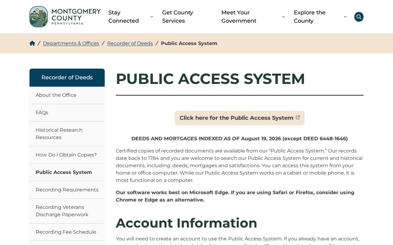
The Recorder says its records reach 1784, while remote document images require a subscription. Confirm early-image availability at the counter rather than assuming every historic image is available online.
Use Lower Providence Street Lists Lawfully
Pennsylvania distinguishes a voter’s own status lookup from the formal lists that can be organized by street. The state’s voter-list request form identifies a Street List with name, residential address, mailing address, party, and active or inactive status. A Walking List omits mailing address. These products are the documented by-street route, but they cost $20 and require an attestation under Pennsylvania election law.
The personal registration-status service is not a general street search. Voter material is controlled civic data, not a complete household list. Protected participants and the statutory limits mean a missing name is not proof that nobody lives at an address.
Note: Voter history can show participation dates and elections, never ballot choices or a complete record of household membership.
Request Lower Providence Address Files
Lower Providence Community Development handles building permits, zoning, subdivision and land-development review, inspections, code enforcement, stormwater, and floodplain work. Its published page offers department contacts and forms, not a public resident-name permit database. An address can be the basis for a focused request for a permit, inspection report, zoning application, plan, or code notice. Provide the address, approximate dates, and a specific category so the records officer can identify the material.
Some records may be released, redacted, or withheld under the Pennsylvania Right-to-Know Law. Department records can provide a date or project context for a property, but that context does not establish who currently occupies the home.
The Township’s Open Records Office is at 100 Parklane Drive in Eagleville. Its published process also accepts requests by email at openrecordsrequest@lowerprovidence.org and by fax. Include whether copies or in-person inspection are wanted and identify a fee-notification threshold when it matters. That detail gives the office a record request it can process, rather than asking staff to build a street directory from unrelated files.
Lower Providence Street Directory Terms
Keeping the address identifiers separate avoids false matches. Older deed language may not resemble a modern mailing address, and the county has not documented a Township-wide street-renumbering project or comprehensive renamed-street index. When the street wording stops matching, use the parcel, lot, plan, and legal description as the bridge instead of guessing at an old-to-new conversion.
- Parcel
- A county-mapped property unit with an identifying number used to connect property and mapping records.
- Situs address
- The physical property location. It is different from an owner mailing address, whose public display here was not verified.
- Plat or plan
- A recorded subdivision or land plan that can identify lots, blocks, or plan-book references.
- Criss-cross directory
- A historic directory arranged by address before name. No Lower Providence run is confirmed, so ask repository staff for a title and coverage before relying on one.
Find Earlier Lower Providence Street Clues
For historic Lower Providence street work, the fallback route is a confirmed title or archival record, not an assumed reverse directory. The Lower Providence Community Library offers an in-library genealogy resource and PressReader access. Ask staff whether a particular directory, telephone book, yearbook, or newspaper indexes Eagleville, Trooper, Audubon, Collegeville, Evansburg, or Yerkes. The current official sources do not verify a local directory run, its years, or its reverse section.
The Historical Society of Montgomery County confirms county tax-record and Norristown Times Herald microfilm, research files, maps, and a research service. It asks visitors to request archival material in advance with a subject and date. Pair a verified historic address reference with Recorder, estate, vital, or census evidence before drawing a household conclusion.
Montgomery County Archives, at 86 Eagleville Road, is another nearby county-history referral point. The Recorder’s historical-resources route also points researchers to County Archives, historical property atlases, the Historical Society, state and federal archives, and cemetery resources. These channels support a date-specific address question. They do not confirm that a specific criss-cross directory, map year, or historical household record is available until the repository identifies the material.
Limits of a Lower Providence Street Directory
Property and title systems record parcels and transaction parties. They do not identify every person currently living in a home. Motor-vehicle information is restricted under the federal Driver’s Privacy Protection Act, and utility, delivery, medical, school, juvenile, sealed, and adoption data do not become public street-directory substitutes. An address may also be protected through Pennsylvania’s Address Confidentiality Program or other access rules.
The Pennsylvania Address Confidentiality Program provides an alternate address for eligible participants in specified government and court records. A protected or absent address is not an invitation to piece together information from other sources.