
Lower Providence Previous Residents Sources
A backward address search needs more than one record group. Montgomery County land records supply the title trail, while probate can explain a transfer from an estate and historical sources help place a household in time. The dates below describe the published coverage or access route, not a guarantee that every address appears in every collection. Use the parcel and legal description to hold the trail together when the postal city, street styling, or name changes.
| Source | Years It Covers | Where Held | What It Shows |
|---|---|---|---|
| Recorder land records | 1784 to present, per office description | Montgomery County Recorder Public Access System, counter, and copy route | Deed, mortgage, and plan parties; document chronology and legal property description |
| Probate docket books | 1784 to 1987 | Montgomery County Register of Wills | Estate, heir, executor, or administrator context for a title transfer |
| Computer probate records | 1988 to present | Register of Wills public-access and office route | Later estate-file route and related court records |
| County birth and death registers | 1893 to 1915 | Register of Wills and County Archives route | Local life-event context, not proof of a particular address |
| Federal Census schedules | Public through 1950 | National Archives access and library genealogy resources | Dated household and place snapshot that requires corroboration |
| Tax and newspaper microfilm | Individual years not listed online | Historical Society of Montgomery County | Tax, notice, obituary, and local-history leads after an archive request |
Lower Providence Community Development records can also add a construction or alteration lead when releasable, but no public name-search permit database was found. Use a written Right-to-Know request that identifies an address, approximate date, record category, and document sought.
Note: County coverage dates identify possible research routes, not a promise that any record names a specific address or establishes a past household.
Trace Lower Providence Previous Residents by Deed
The deed chain begins with an address or parcel ID, not a surname. The County Property Records site limits public starting searches to street address or parcel ID because owner-name searching has been removed. From a property result, preserve the municipality, parcel ID, deed reference, and any plan or legal-description clue. Then search the Recorder’s Public Access System for the current transfer and follow the seller, who becomes the next earlier owner, back through the index.
- Find the present address in County Property Records and note the parcel ID and municipality.
- Locate the newest deed in the Recorder index using the address, parcel, party, document, subdivision, or plan reference available.
- Record grantor, grantee, recorded date, document number, book/page, and legal description.
- Search the earlier grantor as grantee, then repeat the process for each earlier transfer.
- Stop and check probate when a party is an estate, trust, executor, or administrator.
- Compare the legal description and plan references before deciding two similarly named addresses are the same parcel.
A recorded party is evidence of a property transaction, not proof that the person was a full-time occupant. The chain can identify prior owners and dates, while census, tax, newspapers, and a verified directory may help answer the separate question of who formed a household at the address.
Lower Providence Previous Residents Recorder Access
The Montgomery County Recorder Public Access System says its records date back to 1784. Account access is required for the system, and the office distinguishes index research from remote image access. Remote images require a $25 calendar-day subscription or a $300 monthly subscription. Plain pages under a subscription are $0.50, and a certified electronic copy is $10.50. The Recorder office also offers counter, phone, mail-copy, and historical-resource channels.
For a mailed copy, county instructions call for the owner name, property address including municipality, parcel ID, and book/page when known, along with requester contact information and a stamped return envelope. The office is at 425 Swede Street, third floor, Norristown, and lists 610-278-3289. That fallback matters when an index identifies the right record but the remote image route is not suitable.
The Recorder historical research page links the County Archives, Historical Society, historic property atlases, State and national archives, and county cemetery resources.
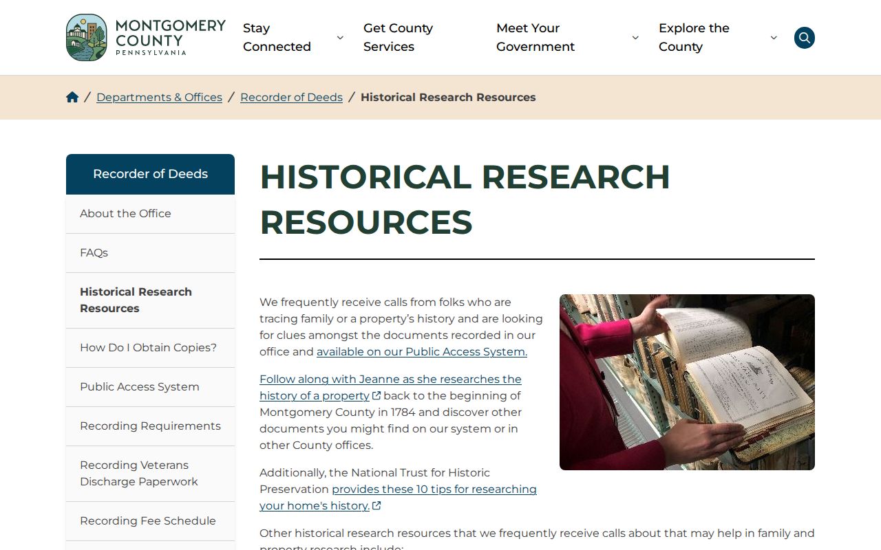
It is a targeted research roadmap for a deed-first property history, not an assertion that every historic address has a complete online file.
Lower Providence Previous Residents Legal Descriptions
Street addresses are convenient, but the legal description carries a property trail across time. In a deed it may identify a lot, subdivision, plan, or book and page. This is especially important where modern postal labels overlap Township names. A parcel can be in Lower Providence while an old record uses Eagleville, Trooper, Audubon, Collegeville, or another nearby label. Compare the municipality, parcel ID, plan reference, and legal description before combining records.
- Grantor
- The party conveying an interest in a recorded property document.
- Grantee
- The party receiving an interest in that document.
- Chain of title
- The sequence of recorded transfers used to trace ownership backward.
- Legal description
- The lot, plan, metes, or other property description that identifies land beyond a street address.
- Parcel ID
- The County identifier that connects the assessment record, tax map, and other property systems.
Plan records have their own formatting rules. The Recorder says a lettered book reference can require normalization, such as A-4 becoming A004. Landsite, condominium, highway, and plan-case books use distinct prefixes. Copy the source wording exactly before searching or asking staff to check a plan.
Note: A modern street address can differ from the legal description in an older record, so use the parcel and plan references to bridge them.
Lower Providence Previous Residents Record Breaks
Long county coverage does not mean every book survives. The Recorder identifies missing Deed Books 1325, 1326, 1377 through 1381, and 1540 through 1544. It also lists missing Mortgage Books 1572 through 1580, 3340, and 3454, plus Plan Books 16 through 21. A gap should be noted as a gap. It does not mean a transfer never happened or that a particular person lacked an interest in the property.
When a chain reaches one of those breaks, retain the last verified document, then ask the Recorder or archives about a related plan, charter, miscellaneous book, grantor/grantee index, estate record, or other reference. The County archival-record retrieval page provides a local route for historical government material and identifies the County Archives in Eagleville.
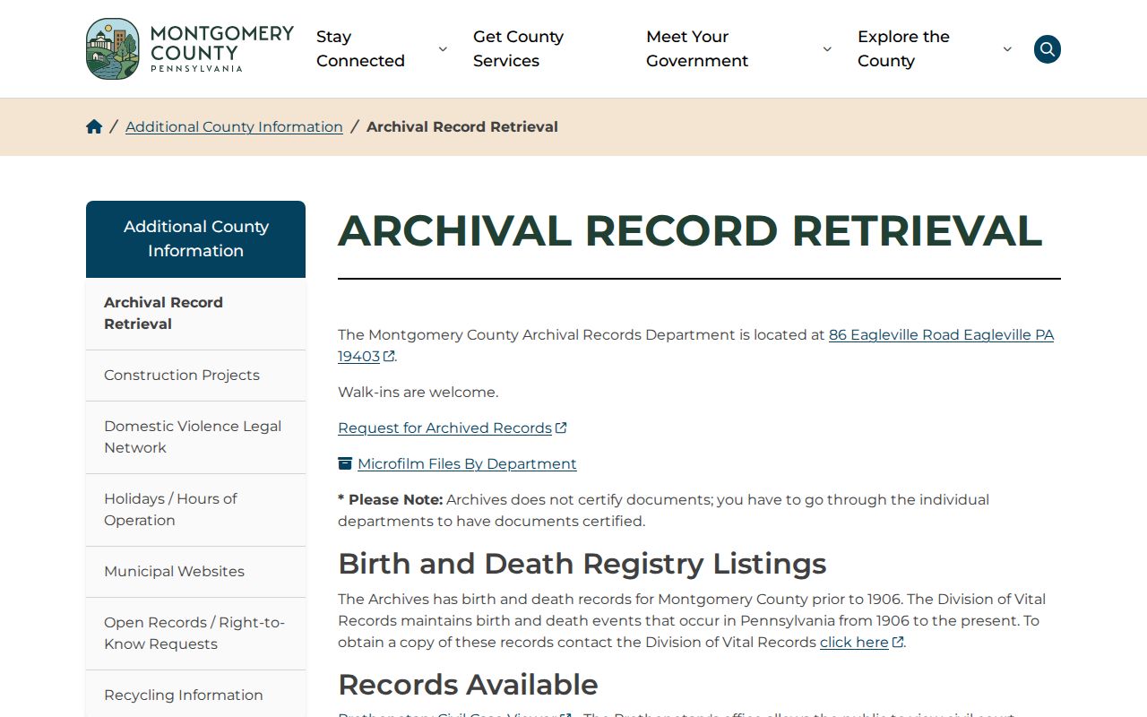
Archive staff can help identify the correct record family, but a request should state the property, date range, and document type rather than ask for an open-ended history.
Lower Providence Previous Residents Probate Clues
An estate can explain a sudden change in the deed trail. Montgomery County probate docket books cover 1784 through 1987, and computer probate records cover 1988 forward. The Register of Wills and Clerk of Orphans’ Court handles probate, estate accounts, marriage licenses, and the County’s 1893 through 1915 birth registers. A deed naming an estate, deceased person, executor, administrator, or trust should be paired with this office’s record route.
Probate evidence can identify an executor, heir, or estate chronology. It does not automatically prove which relatives lived at a property. Match it to the parcel’s legal description, transfer timing, address, and independently dated household evidence. The same rule applies to an obituary: it can add family context but should not be treated as a current-address list.
Lower Providence Previous Residents Development Eras
The Township Comprehensive Plan gives useful context for a property trail. South of Ridge Pike in Trooper saw early twentieth-century bungalow and American Foursquare plotting. Building accelerated after World War II. The 1950s brought rapid growth, and the 1960s and 1970s added substantial Audubon and Eagleville apartment and townhouse development. A later sewer-moratorium lift and Route 422’s 1985 opening also shaped development patterns between Audubon and Eagleville.
These eras are context only. They may suggest where to look for a plan, tax record, newspaper notice, or development file, but they never prove a specific construction date, occupant, or owner. For a particular parcel, let the deed, assessment, plan, permit record, and dated historical source supply the evidence.
Lower Providence Previous Residents Household Evidence
Past residents and past owners are not the same group. County tax microfilm and the Norristown Times Herald microfilm at the Historical Society can add historical leads after staff identify a relevant reel. A verified city or reverse directory may also help, but no official source established a Lower Providence directory run, years, publisher, or criss-cross collection. That gap calls for catalog verification, not a guessed volume.
Pair a verified dated listing or tax clue with the nearest public federal census schedule, which reaches 1950. Compare names, family composition, locality, and timing. The Lower Providence Township city directory collections route explains how to request a confirmed volume without treating a possible regional title as a Township directory. For later evidence, follow access rules for death records, probate, newspaper notices, and cemetery sources.
Note: A person’s absence from a deed, directory, or census search can reflect coverage, indexing, address labels, or privacy limits rather than a definitive answer about residence.
Lower Providence Previous Residents Boundaries
Address-history research is best used for family history, estate questions, property curiosity, and verifying a record with its custodian. Pennsylvania’s Address Confidentiality Program may provide an alternate address for eligible participants in government and related records. Utility, motor-vehicle, medical, school, juvenile, sealed, and adoption information have separate protections. A public land or archive record is never permission to work around those protections.
The Recorder Fraud Protection page describes FraudSleuth, an alert service tied to recorded-document criteria. It alerts rather than proving or preventing a filing. Unexpected document activity should be checked directly with the Recorder.
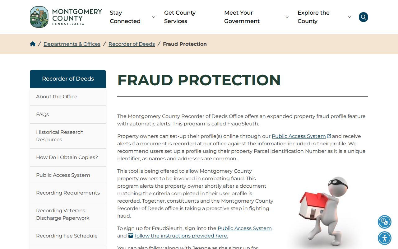
The published fraud-prevention route keeps the focus on confirming an actual recording with the office that holds it.